Download sample
File Details
Published: 2025-03-18 23:44:26.835716 Category: Graphic Resources Type: Illustration Model release: NoShare
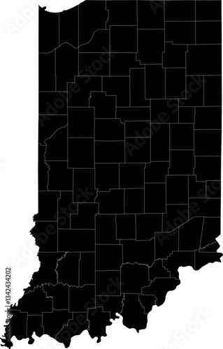
A black and white outline map of Indiana with clearly defined county borders and divisions.
Contributor: Ungrim
ID : 1342434202
)