Your Shopping Cart is empty.


Download sample
File Details
Published: 2021-11-11 22:59:00.329409 Category: Technology Type: Illustration Model release: No
Share
       

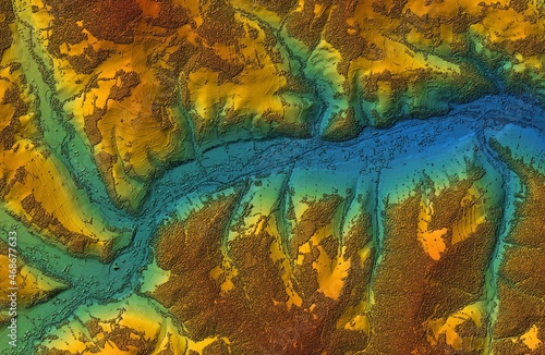
Digital elevation model. GIS 3D illustration made after proccesing aerial pictures taken from a drone. It shows the urban area of a scattered narrow village set in a valley

Contributor: Ungrim
ID : 468677633

TitleFilesize
Illustration7827x5111


Buy on Adobe Stock

Keywords
map, topographic, datum, land, survey, agronomy, aerial, building, cartography, construction, country, countryside, development, drone, earth, elevate, elevation, engineer, engineering, field, geographic, geology, inspection, investigation, laser, mapping, map, model, scan, surveying, technology, terrain, topography, urban, view, village