Your Shopping Cart is empty.


Download sample
File Details
Published: 2021-03-30 15:54:53.735415 Category: Science Type: Illustration Model release: No
Share
       

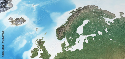
Physical map of Scandinavia, Northern Europe. Flattened satellite view of Planet Earth, its geography and topography. 3D illustration - Elements of this image furnished by NASA

Contributor: mozZz
ID : 423989856

TitleFilesize
Illustration5500x2613


Buy on Adobe Stock

Keywords
scandinavia, map, geography, cartography, scandinavian, physical, satellite, europa, northern, north, sweden, denmark, norge, finland, iceland, continent, earth, topography, peninsula, nordic, planet, detailed, atlas, earth, relief, global, science, worldwide, world map, flat, flattened, country, surface, mountain, distant, textured, land, space, altitude, large, three-dimensional, illustration, projection, environment, terrain, aerial view, planisphere, mapping, realistic