Your Shopping Cart is empty.


Download sample
File Details
Published: 2022-04-08 17:33:14.386626 Category: Graphic Resources Type: Vector Model release: No
Share
       

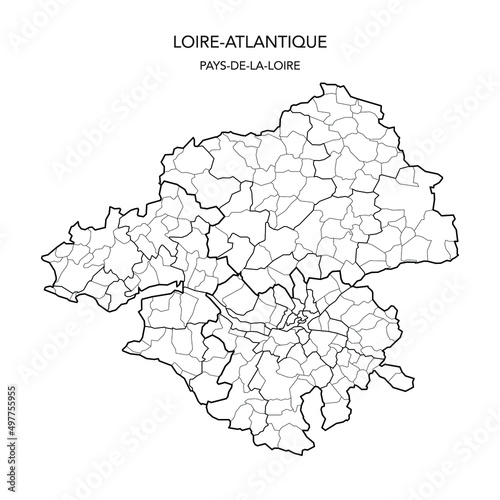
Vector Map of the Geopolitical Subdivisions of the French Department of Loire-Atlantique Including Arrondissements, Cantons and Municipalities as of 2022 - Pays De La Loire - France

Contributor: Dorky
ID : 497755955

TitleFilesize
Vector3000x3000


Buy on Adobe Stock

Keywords
vector, map, loire-atlantique, french, france, department, political, municipality, nantes, region, 2022, administration, administrative, atlas, background, blank, border, boundary, cartography, city, country, detailed, division, geography, graphic, illustration, infographic, limit, municipality, outline, regional, subdivision, subdivision, territory, village, guérande